


SAT_20180813

guy284
User
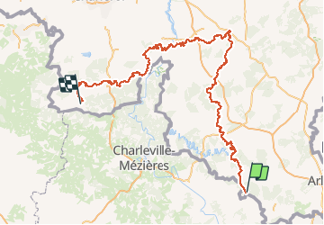

Length
289 km
Boucle
No
Creation date :
2020-06-23 19:32:44.478
Updated on :
2020-06-23 19:58:57.246
--
Difficulty : Unknown

FREE GPS app for hiking
 SityTrail
IGN / Geographical institutes
SityTrail Plus
The world is yours!
About
Trail Walking of 289 km to be discovered at Wallonia, Luxembourg, Florenville. This trail is proposed by guy284.
Positioning
Country:
Belgium
Region :
Wallonia
Department/Province :
Luxembourg
Municipality :
Florenville
Location:
Villers-devant-Orval
Start:(Dec)
Start:(UTM)
669537 ; 5501086 (31U) N.
Comments