


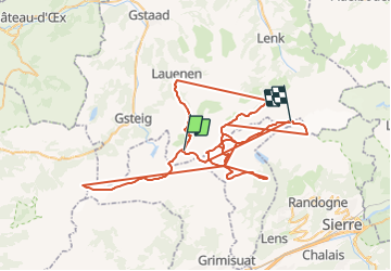

13.3 km | 20 km-effort


User


FREE GPS app for hiking
 SityTrail
IGN / Geographical institutes
SityTrail World
The world is yours!
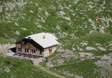
Trail Other activity of 106 km to be discovered at Bern, Obersimmental-Saanen administrative district, Lauenen. This trail is proposed by rohrh.
Nordic walking

Walking
Walking
Walking
Walking
Walking
Walking
Walking
Walking