


de langogne à la Bastide Puylaurent

BrassensJC
User
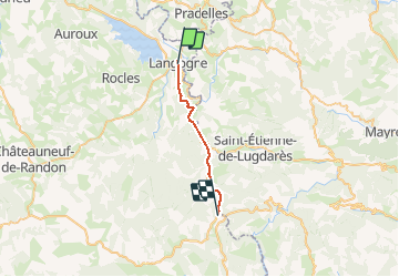

Length
19.3 km

Max alt
1033 m

Uphill gradient
482 m
Km-Effort
25 km

Min alt
909 m

Downhill gradient
381 m
Boucle
No
Creation date :
2020-06-26 05:58:43.35
Updated on :
2020-06-26 15:56:03.659
5h03
Difficulty : Medium

FREE GPS app for hiking
 SityTrail
IGN / Geographical institutes
SityTrail Plus
The world is yours!
About
Trail Walking of 19.3 km to be discovered at Occitania, Lozère, Langogne. This trail is proposed by BrassensJC.
Description
Avec un problème d'enregistrement en plein milieu de l'enregistrement et une obligation de quitter le sentier emporté par les pluies diluviennes de la semaine dernière.
Temps de marche comprenant les arrêts.
Photos


Positioning
Country:
France
Region :
Occitania
Department/Province :
Lozère
Municipality :
Langogne
Location:
Unknown
Start:(Dec)
Start:(UTM)
567690 ; 4952836 (31T) N.
Comments