


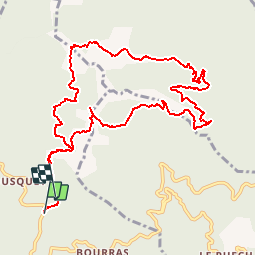

13.3 km | 24 km-effort


User


FREE GPS app for hiking
 SityTrail
IGN / Geographical institutes
SityTrail World
The world is yours!
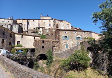
Trail Walking of 12.6 km to be discovered at Occitania, Gard, Saint-Roman-de-Codières. This trail is proposed by dansmabulle.
Départ randonnée :
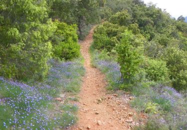
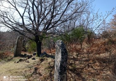
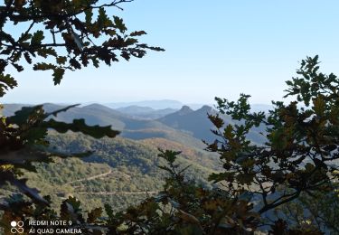
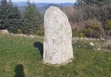
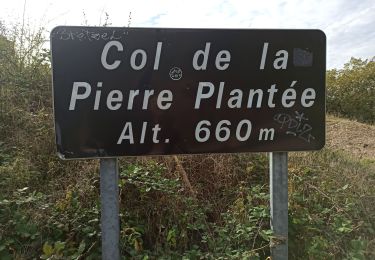
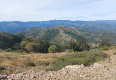
Col de la pierre Levée près de près de Saint-Roman-de-Codières ( gard 30) Se garer au col de la Pierre Levée. Faire 100m vers le Nord,à l'embranchement prendre le chemin du milieu.Le sentier démarre 200m plus loin à droite.Vous croiserez des chatainiers et vous aurez une belle vue sur l'Aigoual.200m après les menhirs, attention de ne pas manquer à droite le sentier peu marqué:il suit la combe, moitié sentier moitié ruisseau.En bas, prendre la piste. Plus loin, vue sur les Alpes et le Mont Ventoux.Au retour,on suit la piste ou on la quitte pour un sentier à gauche très peu marqué et dont les 100 derniers mètres avant de rejoindre le chemin de l'aller sont presque effacés.Bonne randonnée.
Walking

Walking
Walking
On foot
Walking
Walking
Walking
Walking
Walking