


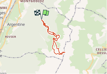

4.6 km | 9.9 km-effort

User


FREE GPS app for hiking
 SityTrail
IGN / Geographical institutes
SityTrail World
The world is yours!
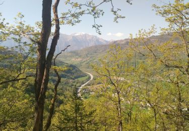
Trail Walking of 14.1 km to be discovered at Auvergne-Rhône-Alpes, Savoy, Argentine. This trail is proposed by jibebouvier.
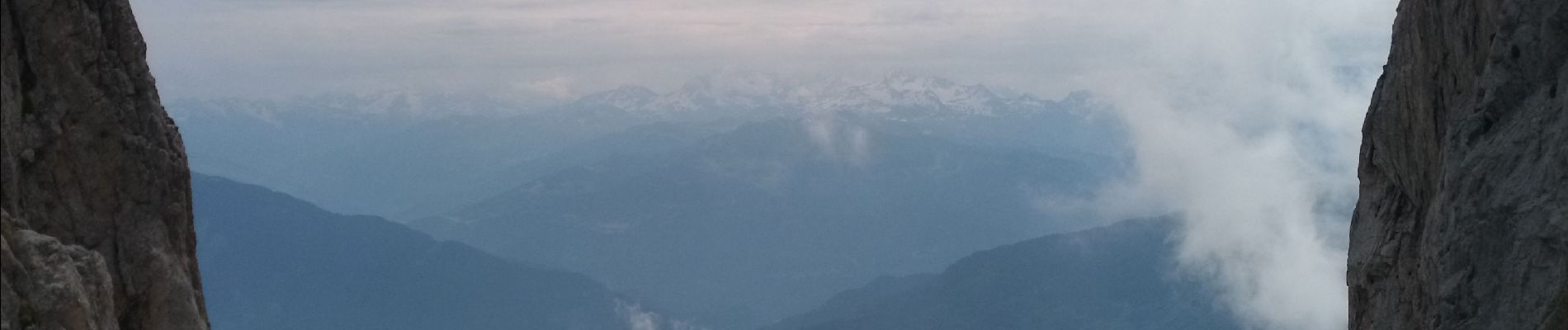
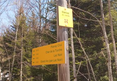
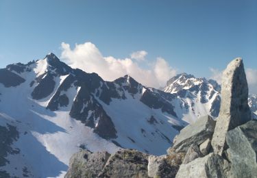
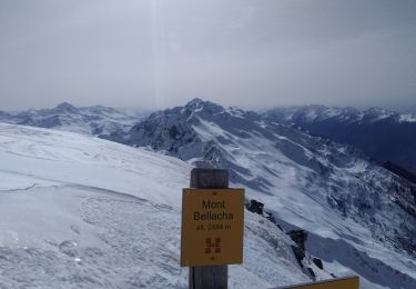
raide... la haute montagne en basse Maurienne !
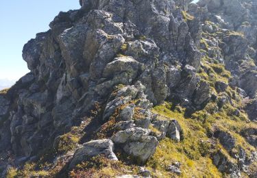
crampons voire griffes nécessaires
attention passages en cailloux au dessus de la moraine sur la gauche


Walking
Walking
Walking
Walking
Walking
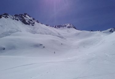
Touring skiing
Touring skiing
Touring skiing
Touring skiing