


Boissy l'Aillerie

avdem
User
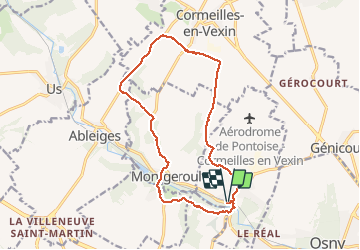

Length
14.5 km

Max alt
114 m

Uphill gradient
173 m
Km-Effort
16.8 km

Min alt
40 m

Downhill gradient
172 m
Boucle
Yes
Creation date :
2020-06-30 07:29:19.033
Updated on :
2020-06-30 10:45:39.208
3h11
Difficulty : Very easy

FREE GPS app for hiking
 SityTrail
IGN / Geographical institutes
SityTrail Plus
The world is yours!
About
Trail Walking of 14.5 km to be discovered at Ile-de-France, Val-d'Oise, Boissy-l'Aillerie. This trail is proposed by avdem.
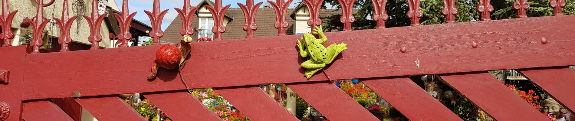
Photos


Positioning
Country:
France
Region :
Ile-de-France
Department/Province :
Val-d'Oise
Municipality :
Boissy-l'Aillerie
Location:
Unknown
Start:(Dec)
Start:(UTM)
428943 ; 5436320 (31U) N.
Comments