


Bellefontaine 020720

guyernage25
User
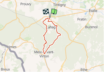

Length
18.6 km

Max alt
373 m

Uphill gradient
341 m
Km-Effort
23 km

Min alt
231 m

Downhill gradient
341 m
Boucle
Yes
Creation date :
2020-07-02 07:06:10.697
Updated on :
2020-07-02 12:46:35.903
3h58
Difficulty : Easy

FREE GPS app for hiking
 SityTrail
IGN / Geographical institutes
SityTrail Plus
The world is yours!
About
Trail Walking of 18.6 km to be discovered at Wallonia, Luxembourg, Tintigny. This trail is proposed by guyernage25.
Description
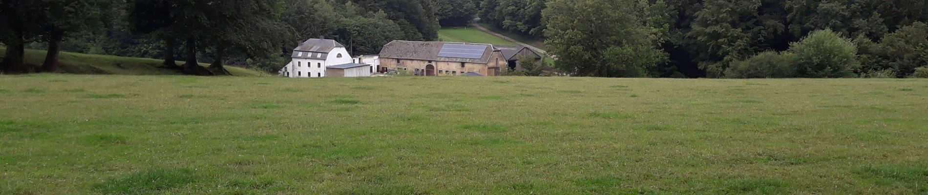
tres belle rando forestiere
Photos


Positioning
Country:
Belgium
Region :
Wallonia
Department/Province :
Luxembourg
Municipality :
Tintigny
Location:
Bellefontaine
Start:(Dec)
Start:(UTM)
680137 ; 5503961 (31U) N.
Comments