


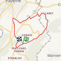

9.2 km | 12.5 km-effort


User


FREE GPS app for hiking
 SityTrail
IGN / Geographical institutes
SityTrail World
The world is yours!
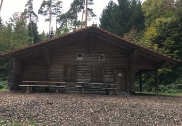
Trail Walking of 7 km to be discovered at Vaud, District de la Broye-Vully, Payerne. This trail is proposed by gpiller.
Trajet Bicubic - Vers-chez-Perrin 16km, 20min, Fr. 3.00. Parking à la sortie du village direction Vers-chez-Savary sur la droite (stand).
Auberge de Vers-chez-Perrin
Tél. 026 660 58 46
Relais du Maronnier Grandsivaz
Tél: 0 26 660 24 62
Walking

Cycle
Cycle
Cycle

Cycle
Walking

Walking
Walking

Walking