SityTrail - 2460537 - st-laurent

thonyc
User GUIDE

Length
10 km

Max alt
682 m

Uphill gradient
270 m

Km-Effort
13.6 km

Min alt
449 m

Downhill gradient
276 m
Boucle
Yes
Creation date :
2020-07-03 18:53:19.377
Updated on :
2024-02-19 09:08:50.609
3h05
Difficulty : Easy

FREE GPS app for hiking
About
Trail Walking of 10 km to be discovered at Auvergne-Rhône-Alpes, Ardèche, Saint-Laurent-sous-Coiron. This trail is proposed by thonyc.
Description
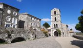
NOTA: afin de ne pas déranger les résidents, stationner sur le parking à cet effet en contrebas du village.
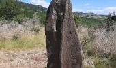
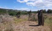
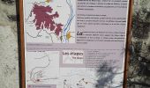
Sentier thématique sur la géologie, du Moyen âge à la préhistoire.
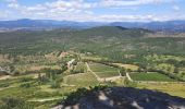
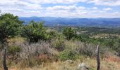
Très beaux panoramas.
Positioning
Country:
France
Region :
Auvergne-Rhône-Alpes
Department/Province :
Ardèche
Municipality :
Saint-Laurent-sous-Coiron
Location:
Unknown
Start:(Dec)
Start:(UTM)
617478 ; 4943909 (31T) N.
Comments


 SityTrail


