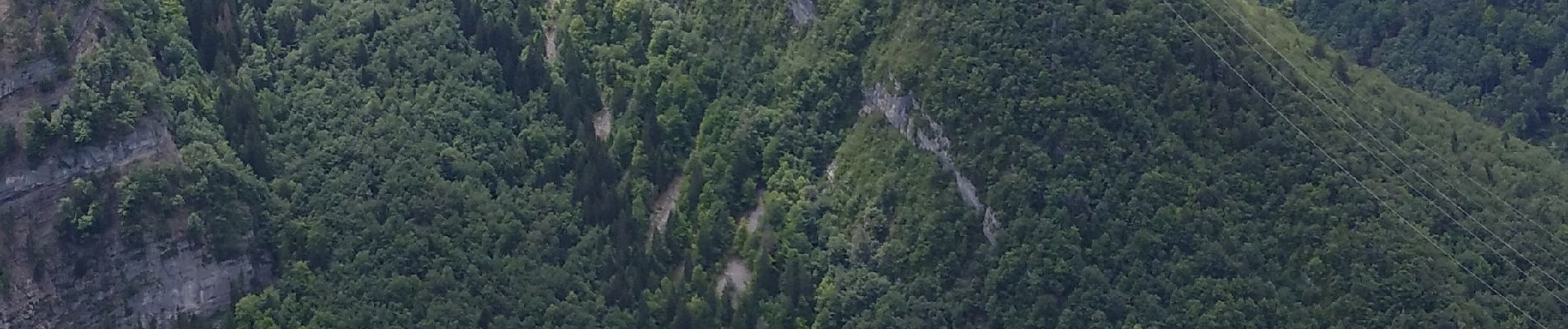
Trail On foot Villard-Saint-Sauveur -  GORGES DU FLUMEN - Photo
 mpstoop
mpstoop

User

© OpenStreetMap contributors
Length
Length
23 km
Max alt
Max alt
1212 m
Uphill gradient
Uphill gradient
1220 m
Km-Effort
Km-Effort  
39 km
Min alt
Min alt
444 m
Downhill gradient
Downhill gradient
1219 m
Boucle
Boucle
Yes
Creation date :
2020-07-04 12:11:23.151
Updated on :
2020-07-06 08:24:13.598

(0 Reviews)

On foot
On foot
--
Difficulty : Difficult

Scan this QR Code to open this trail in the SityTrail application

FREE GPS app for hiking

Logo SityTrail SityTrail

IGN / Geographical institutes

Download SityTrail from the App Store Download SityTrail from Google Play

Logo SityTrail SityTrail Plus

The world is yours!

Download SityTrail from the App Store Download SityTrail from Google Play Download SityTrail on Huawei AppGallery

About

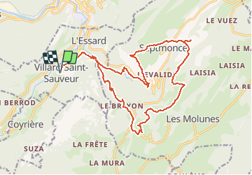
Trail On foot of 23 km to be discovered at Bourgogne-Franche-Comté, Jura, Villard-Saint-Sauveur. This trail is proposed by mpstoop.

Description

RAVIN ET CRETES DEPUIS VILLARS JUSQU'A SEPTMONCEL ET RETOUR  PAR LES HAUTS PLATEAUX DU JURA  -  FLORE CALCICOLE  REMARQUABLE DE PREFERENCE EN ETE . VASTES POINT DE VUES EN CRETES . FORTES DENIVELEES PHYSIQUES ET PARFOIS DELICATES

Elevation profile

Photos

Positioning

Country:
France
Region :
Bourgogne-Franche-Comté
Department/Province :
Jura
Municipality :
Villard-Saint-Sauveur
Location:
Unknown
Start:(UTM)
720070 ; 5138106 (31T) N.


Close
My subscriptions