


autour de Wannes et Henimont

stef789
User GUIDE
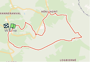

Length
11.2 km

Max alt
590 m

Uphill gradient
251 m
Km-Effort
14.5 km

Min alt
388 m

Downhill gradient
255 m
Boucle
Yes
Creation date :
2020-07-05 10:57:07.584
Updated on :
2020-07-05 14:25:33.933
3h27
Difficulty : Very easy

FREE GPS app for hiking
 SityTrail
IGN / Geographical institutes
SityTrail Plus
The world is yours!
About
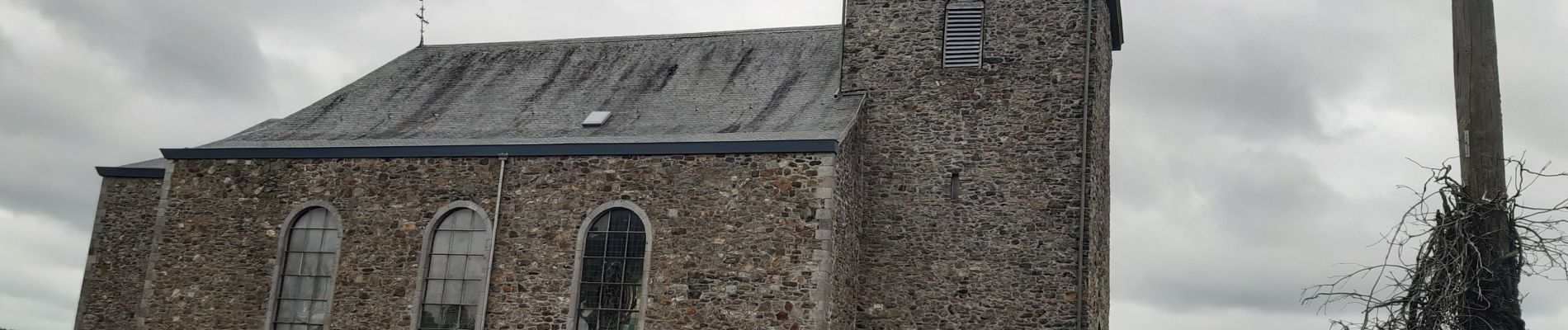
Trail Walking of 11.2 km to be discovered at Wallonia, Liège, Trois-Ponts. This trail is proposed by stef789.
Photos


Positioning
Country:
Belgium
Region :
Wallonia
Department/Province :
Liège
Municipality :
Trois-Ponts
Location:
Wanne
Start:(Dec)
Start:(UTM)
707755 ; 5582213 (31U) N.
Comments