


Chambord-Rond point François 1°

lemuid
User
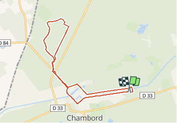

Length
8.7 km

Max alt
109 m

Uphill gradient
76 m
Km-Effort
9.7 km

Min alt
70 m

Downhill gradient
72 m
Boucle
Yes
Creation date :
2020-07-05 13:12:42.779
Updated on :
2020-07-08 11:47:10.778
1h55
Difficulty : Very easy

FREE GPS app for hiking
 SityTrail
IGN / Geographical institutes
SityTrail Plus
The world is yours!
About
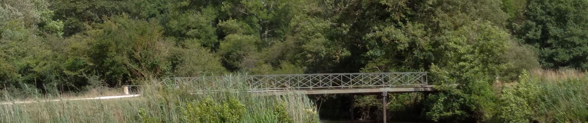
Trail Walking of 8.7 km to be discovered at Centre-Loire Valley, Loir-et-Cher, Chambord. This trail is proposed by lemuid.
Photos


Positioning
Country:
France
Region :
Centre-Loire Valley
Department/Province :
Loir-et-Cher
Municipality :
Chambord
Location:
Unknown
Start:(Dec)
Start:(UTM)
389878 ; 5274872 (31T) N.
Comments