


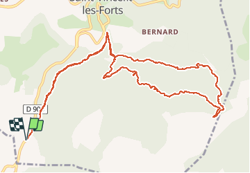

15.6 km | 23 km-effort

User


FREE GPS app for hiking
 SityTrail
IGN / Geographical institutes
SityTrail World
The world is yours!
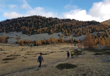
Trail Walking of 15.2 km to be discovered at Provence-Alpes-Côte d'Azur, Alpes-de-Haute-Provence, Ubaye-Serre-Ponçon. This trail is proposed by chris13370.
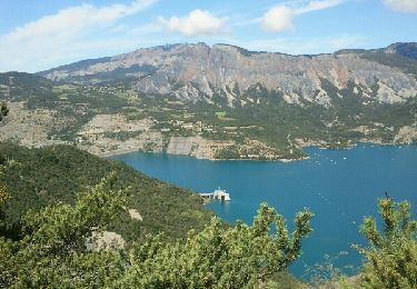
Très beau parcours le long du canal de la Pisse. Superbe vue sur la Cascade et panorama sur le lac de Serre poncon.
Montée un peu raide jusqu'au Pre Balout mais tjs à l ombre (appréciable début juillet).
Possibilité de raccourcir le circuit en partant de St Vincent du fort.


Walking
Walking
Walking

Walking
Walking
Walking

Walking
Walking
Walking