


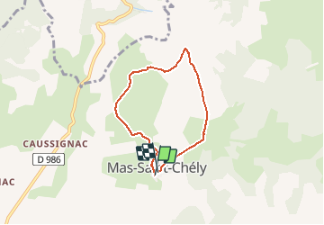

15.8 km | 25 km-effort

User GUIDE


FREE GPS app for hiking
 SityTrail
IGN / Geographical institutes
SityTrail World
The world is yours!
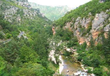
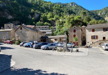
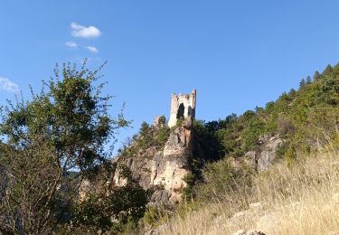
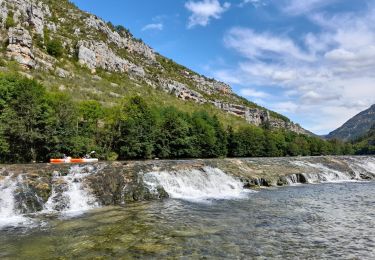
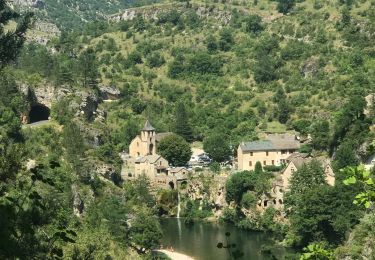
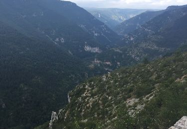
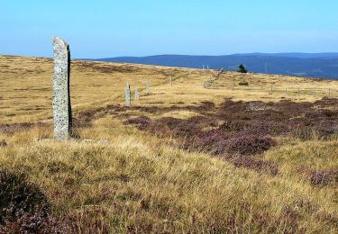
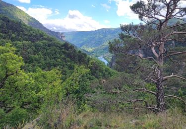
Trail Walking of 5.5 km to be discovered at Occitania, Lozère, Mas-Saint-Chély. This trail is proposed by rvapeldo.
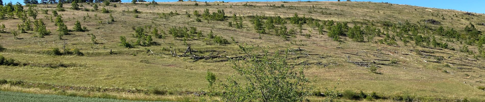
petite promenade au Mont Servy, qui est aussi le nom de l'hotel local, d'où une vue agréable attend le marcheur. Retour par le GR de pays.


Walking
Walking

Walking
Walking
Canoe - kayak
Walking
Walking
Walking
Walking