Trail Walking Ivrey - Ivrey - Mr Poupet 7 juillet 20250 CAF - Photo

Ivrey - Mr Poupet 7 juillet 20250 CAF

© OpenStreetMap contributors
Length
Length
17.8 km
Max alt
Max alt
847 m
Uphill gradient
Uphill gradient
829 m
Km-Effort
Km-Effort  
29 km
Min alt
Min alt
420 m
Downhill gradient
Downhill gradient
826 m
Boucle
Boucle
Yes
Creation date :
2020-07-07 17:00:09.352
Updated on :
2020-07-08 08:26:44.644

(0 Reviews)

Walking
Walking
5h55
Difficulty : Difficult

Scan this QR Code to open this trail in the SityTrail application

FREE GPS app for hiking

Logo SityTrail SityTrail

IGN / Geographical institutes

Download SityTrail from the App Store Download SityTrail from Google Play

Logo SityTrail SityTrail Plus

The world is yours!

Download SityTrail from the App Store Download SityTrail from Google Play Download SityTrail on Huawei AppGallery

About

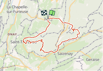
Trail Walking of 17.8 km to be discovered at Bourgogne-Franche-Comté, Jura, Ivrey. This trail is proposed by TRIMAILLE.

Description

Départ du parking du cimetière Ivrey.
Passage au gourde Conche.
Mont Poupet, la croix, le Signal, les Hêtres tors et l'aire de Delta.
Passage à St Thiébaud, avant de rejoindre Ivrey.
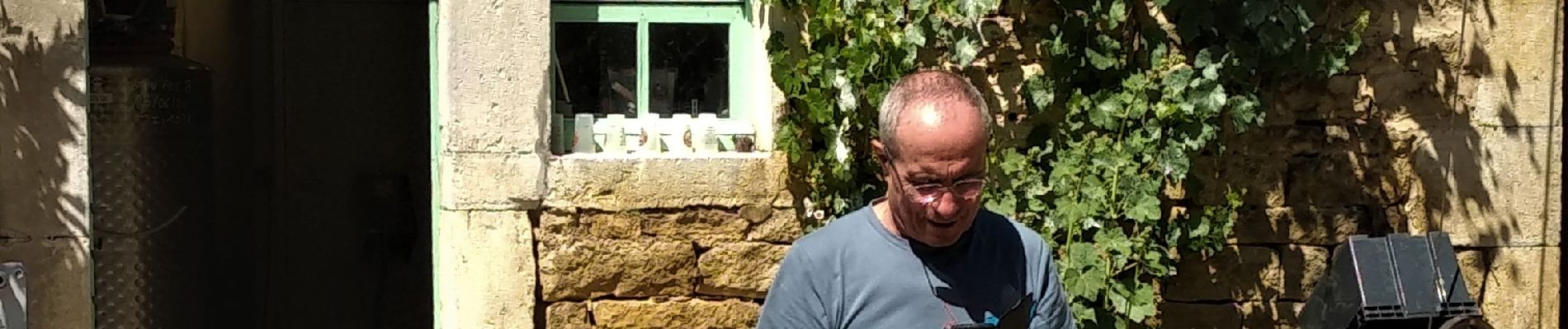
Visite et dégustation à la brasserie artisanale d'Ivrey.

Elevation profile

Photos

Positioning

Country:
France
Region :
Bourgogne-Franche-Comté
Department/Province :
Jura
Municipality :
Ivrey
Location:
Unknown
Start:(UTM)
720106 ; 5208158 (31T) N.


Close
My subscriptions