


Pic de Ceint (Girantes)

Alouest31
User
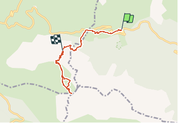

Length
7.5 km

Max alt
2067 m

Uphill gradient
715 m
Km-Effort
15.9 km

Min alt
1354 m

Downhill gradient
379 m
Boucle
No
Creation date :
2014-12-10 00:00:00.0
Updated on :
2014-12-10 00:00:00.0
5h02
Difficulty : Unknown

FREE GPS app for hiking
 SityTrail
IGN / Geographical institutes
SityTrail Plus
The world is yours!
About
Trail Winter sports of 7.5 km to be discovered at Occitania, Ariège, Val-de-Sos. This trail is proposed by Alouest31.
Description
comme indiqué sur le topo, bifurquation à 1632m pour passer avant les corniches et couteaux requis pour la dernière traversée
Positioning
Country:
France
Region :
Occitania
Department/Province :
Ariège
Municipality :
Val-de-Sos
Location:
Suc-et-Sentenac
Start:(Dec)
Start:(UTM)
371135 ; 4740553 (31T) N.
Comments