


le lac des sagnes

GILOU440
User
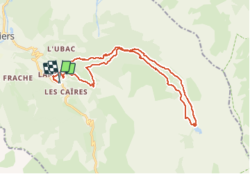

Length
21 km

Max alt
2035 m

Uphill gradient
672 m
Km-Effort
30 km

Min alt
1495 m

Downhill gradient
672 m
Boucle
Yes
Creation date :
2020-07-08 07:04:35.44
Updated on :
2020-07-08 16:49:53.336
6h12
Difficulty : Medium

FREE GPS app for hiking
 SityTrail
IGN / Geographical institutes
SityTrail Plus
The world is yours!
About
Trail Walking of 21 km to be discovered at Provence-Alpes-Côte d'Azur, Alpes-de-Haute-Provence, Jausiers. This trail is proposed by GILOU440.
Description
beaucoup de piste .
mais agréable.
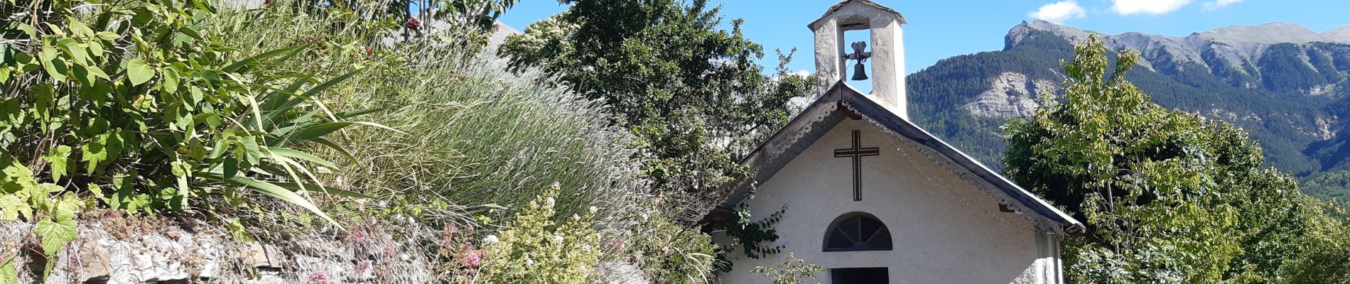
Photos


40 photos in total. Please click on a photo to see them all in the gallery.
Positioning
Country:
France
Region :
Provence-Alpes-Côte d'Azur
Department/Province :
Alpes-de-Haute-Provence
Municipality :
Jausiers
Location:
Unknown
Start:(Dec)
Start:(UTM)
321970 ; 4919025 (32T) N.
Comments