


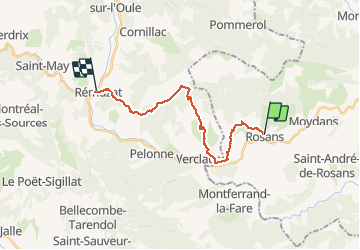
GRP Baronnies Rosans Rémuzat 19km

thonyc
User GUIDE

Length
18.6 km

Max alt
1137 m

Uphill gradient
660 m
Km-Effort
28 km

Min alt
449 m

Downhill gradient
920 m
Boucle
No
Creation date :
2020-07-10 07:28:49.296
Updated on :
2020-07-12 07:28:34.162
6h51
Difficulty : Difficult

FREE GPS app for hiking
 SityTrail
IGN / Geographical institutes
SityTrail Plus
The world is yours!
About
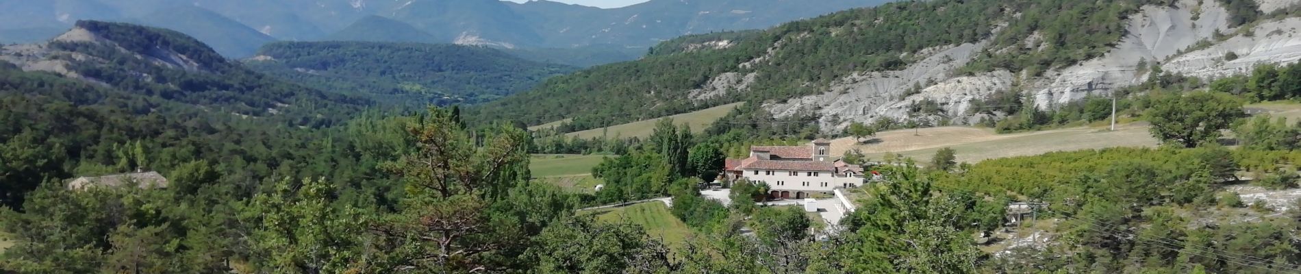
Trail Walking of 18.6 km to be discovered at Provence-Alpes-Côte d'Azur, Hautes-Alpes, Rosans. This trail is proposed by thonyc.
Photos


Positioning
Country:
France
Region :
Provence-Alpes-Côte d'Azur
Department/Province :
Hautes-Alpes
Municipality :
Rosans
Location:
Unknown
Start:(Dec)
Start:(UTM)
696758 ; 4918482 (31T) N.
Comments