


Joahness

Arnaud Dejean
User

Length
7.4 km

Max alt
1433 m

Uphill gradient
200 m
Km-Effort
10.1 km

Min alt
1270 m

Downhill gradient
203 m
Boucle
No
Creation date :
2020-07-12 07:02:19.672
Updated on :
2020-07-12 09:11:31.431
2h00
Difficulty : Easy

FREE GPS app for hiking
 SityTrail
IGN / Geographical institutes
SityTrail Plus
The world is yours!
About
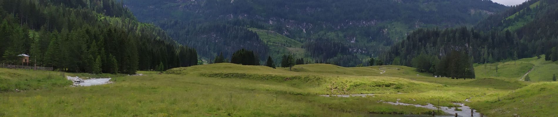
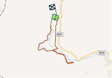
Trail Walking of 7.4 km to be discovered at Salzburg, Bezirk St. Johann im Pongau, Untertauern. This trail is proposed by Arnaud Dejean.
Photos


Positioning
Country:
Austria
Region :
Salzburg
Department/Province :
Bezirk St. Johann im Pongau
Municipality :
Untertauern
Location:
Unknown
Start:(Dec)
Start:(UTM)
386130 ; 5235687 (33T) N.
Comments