


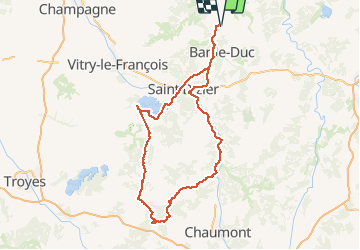
Colombey les 2 églises et le lac du Der depuis Les Hauts de Chée

flzanichelli
User

Length
248 km

Max alt
385 m

Uphill gradient
2877 m
Km-Effort
286 km

Min alt
118 m

Downhill gradient
2877 m
Boucle
Yes
Creation date :
2020-07-13 06:29:22.134
Updated on :
2020-07-14 11:54:37.531
4h27
Difficulty : Very easy

FREE GPS app for hiking
 SityTrail
IGN / Geographical institutes
SityTrail Plus
The world is yours!
About
Trail Car of 248 km to be discovered at Grand Est, Meuse, Les Hauts-de-Chée. This trail is proposed by flzanichelli.
Description
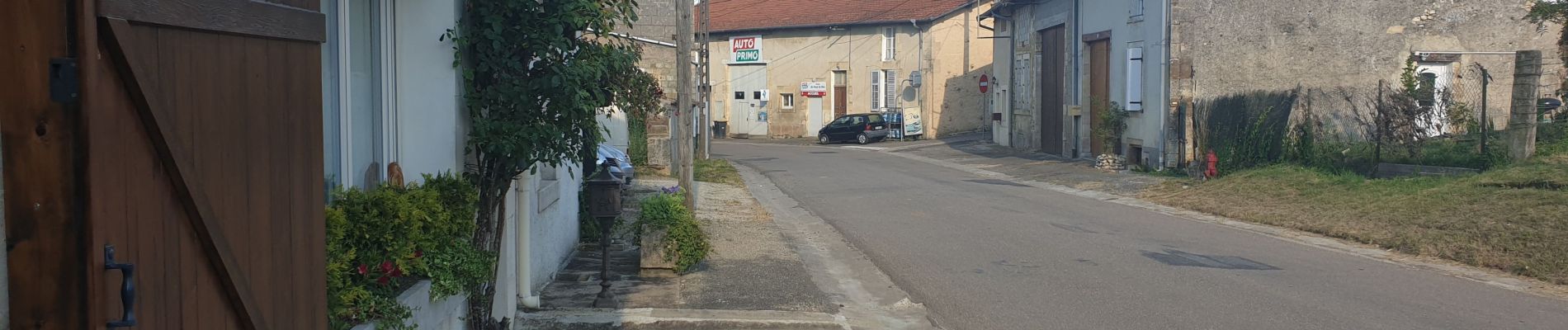
Ballade de la Meuse à l'aube
La Boisserie, le mémorial de Charles De Gaulle, la croix de Lorraine. L' Abbaye de Clairevaux. Le lac du Der et ses sports nautiques...un air de vacances au bord de l'eau.
Photos


Positioning
Country:
France
Region :
Grand Est
Department/Province :
Meuse
Municipality :
Les Hauts-de-Chée
Location:
Unknown
Start:(Dec)
Start:(UTM)
658258 ; 5414625 (31U) N.
Comments