


Le Goubet/col de Tourniol/Leoncel/St Nazaire en Rs/retour par la voie verte

okfred26
User
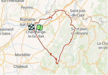

Length
70 km

Max alt
1154 m

Uphill gradient
1405 m
Km-Effort
89 km

Min alt
145 m

Downhill gradient
1404 m
Boucle
Yes
Creation date :
2020-07-14 07:49:02.566
Updated on :
2020-07-14 12:37:47.086
4h41
Difficulty : Difficult

FREE GPS app for hiking
 SityTrail
IGN / Geographical institutes
SityTrail Plus
The world is yours!
About
Trail Road bike of 70 km to be discovered at Auvergne-Rhône-Alpes, Drôme, Chatuzange-le-Goubet. This trail is proposed by okfred26.
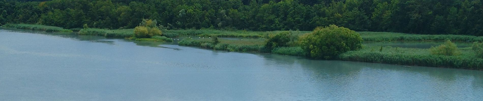
Photos


Positioning
Country:
France
Region :
Auvergne-Rhône-Alpes
Department/Province :
Drôme
Municipality :
Chatuzange-le-Goubet
Location:
Unknown
Start:(Dec)
Start:(UTM)
664594 ; 4985632 (31T) N.
Comments