


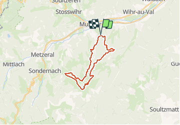

14.8 km | 27 km-effort

User


FREE GPS app for hiking
 SityTrail
IGN / Geographical institutes
SityTrail World
The world is yours!
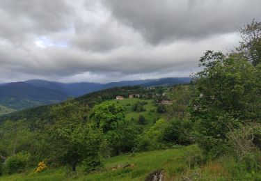
Trail Walking of 22 km to be discovered at Grand Est, Haut-Rhin, Eschbach-au-Val. This trail is proposed by Fabienne BECKE.
Parking en montant vers le Geisbach, sur carte Baechle


Walking

Walking

Walking
Walking
Horseback riding

Walking
Walking
Walking
Walking