


saint Clair 18 juillet 2020

Patrick Lemaire
User
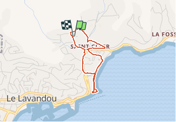

Length
3.1 km

Max alt
26 m

Uphill gradient
29 m
Km-Effort
3.5 km

Min alt
3 m

Downhill gradient
28 m
Boucle
Yes
Creation date :
2020-07-18 06:49:17.239
Updated on :
2020-07-18 07:59:27.422
38m
Difficulty : Very easy

FREE GPS app for hiking
 SityTrail
IGN / Geographical institutes
SityTrail Plus
The world is yours!
About
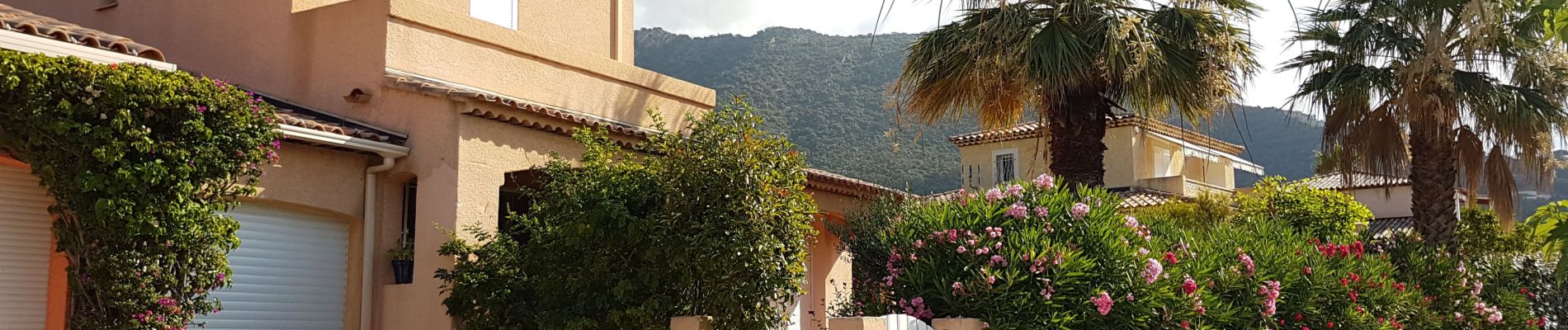
Trail Walking of 3.1 km to be discovered at Provence-Alpes-Côte d'Azur, Var, Le Lavandou. This trail is proposed by Patrick Lemaire.
Photos


Positioning
Country:
France
Region :
Provence-Alpes-Côte d'Azur
Department/Province :
Var
Municipality :
Le Lavandou
Location:
Unknown
Start:(Dec)
Start:(UTM)
286770 ; 4780406 (32T) N.
Comments