


Lardy

petergole
User

Length
12.5 km

Max alt
164 m

Uphill gradient
249 m
Km-Effort
15.8 km

Min alt
60 m

Downhill gradient
232 m
Boucle
No
Creation date :
2020-07-19 13:02:56.0
Updated on :
2020-07-19 19:01:03.338
3h54
Difficulty : Unknown

FREE GPS app for hiking
 SityTrail
IGN / Geographical institutes
SityTrail Plus
The world is yours!
About
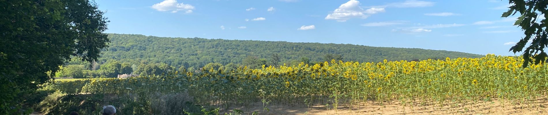
Trail Walking of 12.5 km to be discovered at Ile-de-France, Essonne, Lardy. This trail is proposed by petergole.
Photos

Positioning
Country:
France
Region :
Ile-de-France
Department/Province :
Essonne
Municipality :
Lardy
Location:
Unknown
Start:(Dec)
Start:(UTM)
445376 ; 5374153 (31U) N.
Comments