


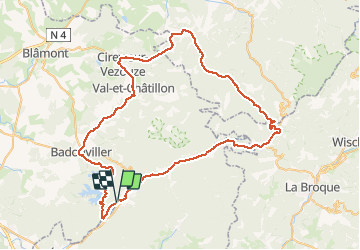
Col du Donon

PhilippeC54
User

Length
76 km

Max alt
791 m

Uphill gradient
1341 m
Km-Effort
93 km

Min alt
290 m

Downhill gradient
1341 m
Boucle
Yes
Creation date :
2020-07-21 06:47:47.083
Updated on :
2020-07-21 12:09:02.404
4h01
Difficulty : Medium

FREE GPS app for hiking
 SityTrail
IGN / Geographical institutes
SityTrail Plus
The world is yours!
About
Trail Road bike of 76 km to be discovered at Grand Est, Meurthe-et-Moselle, Pierre-Percée. This trail is proposed by PhilippeC54.
Positioning
Country:
France
Region :
Grand Est
Department/Province :
Meurthe-et-Moselle
Municipality :
Pierre-Percée
Location:
Unknown
Start:(Dec)
Start:(UTM)
347985 ; 5368890 (32U) N.
Comments