


Mouthier Haute Pierre 21 juillet 2020 CAF

TRIMAILLE
User
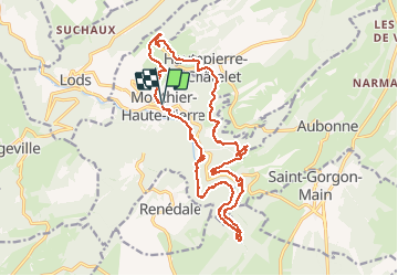

Length
20 km

Max alt
874 m

Uphill gradient
848 m
Km-Effort
32 km

Min alt
377 m

Downhill gradient
849 m
Boucle
Yes
Creation date :
2020-07-21 06:51:00.109
Updated on :
2020-07-24 14:30:39.226
6h51
Difficulty : Very easy

FREE GPS app for hiking
 SityTrail
IGN / Geographical institutes
SityTrail Plus
The world is yours!
About
Trail Walking of 20 km to be discovered at Bourgogne-Franche-Comté, Doubs, Mouthier-Haute-Pierre. This trail is proposed by TRIMAILLE.
Description
Départ du parking de la mairie à Mouthier Haute Pierre
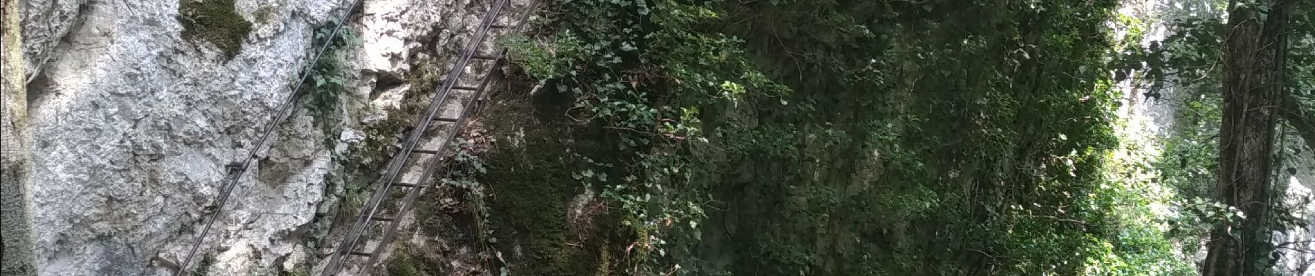
Photos


Positioning
Country:
France
Region :
Bourgogne-Franche-Comté
Department/Province :
Doubs
Municipality :
Mouthier-Haute-Pierre
Location:
Unknown
Start:(Dec)
Start:(UTM)
292992 ; 5213236 (32T) N.
Comments