


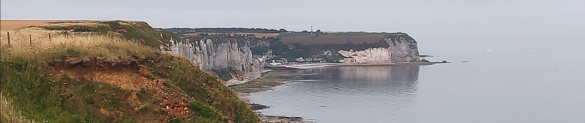
fecamp_Yport

gdela
User


Length
19.1 km

Max alt
105 m

Uphill gradient
391 m
Km-Effort
24 km

Min alt
-2 m

Downhill gradient
387 m
Boucle
No
Creation date :
2020-07-23 07:56:32.012
Updated on :
2020-07-23 13:02:10.018
3h51
Difficulty : Medium

FREE GPS app for hiking
 SityTrail
IGN / Geographical institutes
SityTrail Plus
The world is yours!
About
Trail Walking of 19.1 km to be discovered at Normandy, Seine-Maritime, Fécamp. This trail is proposed by gdela.
Photos

Positioning
Country:
France
Region :
Normandy
Department/Province :
Seine-Maritime
Municipality :
Fécamp
Location:
Unknown
Start:(Dec)
Start:(UTM)
309982 ; 5515272 (31U) N.
Comments