Trail Walking Colmars - lignin - Photo
 PhilB24
PhilB24

User

© OpenStreetMap contributors
Length
Length
18 km
Max alt
Max alt
2289 m
Uphill gradient
Uphill gradient
713 m
Km-Effort
Km-Effort  
28 km
Min alt
Min alt
1638 m
Downhill gradient
Downhill gradient
717 m
Boucle
Boucle
Yes
Creation date :
2020-07-23 08:09:43.226
Updated on :
2020-07-25 21:56:18.189

(0 Reviews)

Walking
Walking
4h42
Difficulty : Medium

Scan this QR Code to open this trail in the SityTrail application

FREE GPS app for hiking

Logo SityTrail SityTrail

IGN / Geographical institutes

Download SityTrail from the App Store Download SityTrail from Google Play

Logo SityTrail SityTrail Plus

The world is yours!

Download SityTrail from the App Store Download SityTrail from Google Play Download SityTrail on Huawei AppGallery

About

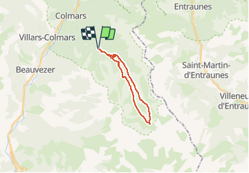
Trail Walking of 18 km to be discovered at Provence-Alpes-Côte d'Azur, Alpes-de-Haute-Provence, Colmars. This trail is proposed by PhilB24.

Description

Montée par la piste forestière, environ 30mn en premiere avec voiture normale, jusqu'au parking du pont de la Serre.
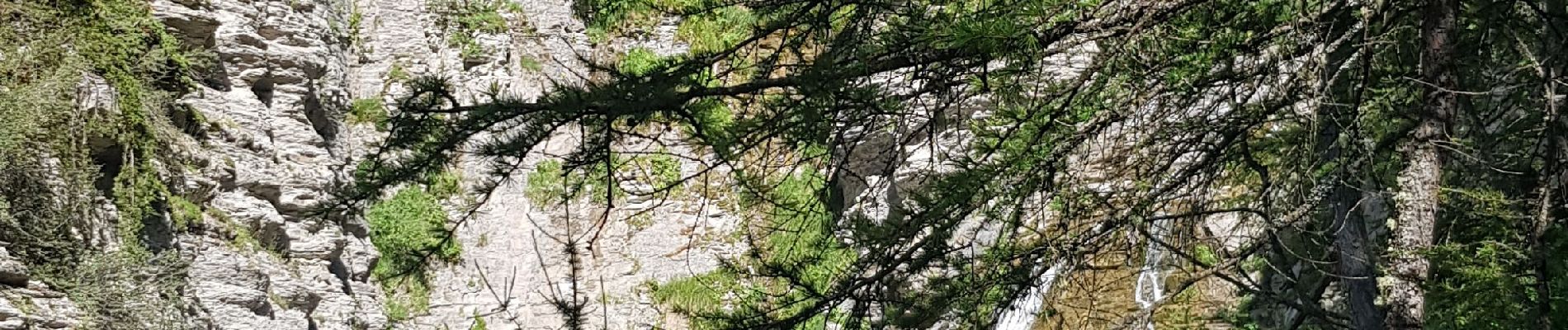
Magnifique randonnée en boucle, au départ du Pont de la Serre ,  avec des paysages très variés ,cascades , vasques , forêt de mélèzes, alpages , "steppe" , tourbières et vasque de la Lance.
Aller par cabane de Bressange, montée reguliere et retour par cabane de Mouries descente plus raide.

Elevation profile

Photos

Positioning

Country:
France
Region :
Provence-Alpes-Côte d'Azur
Department/Province :
Alpes-de-Haute-Provence
Municipality :
Colmars
Location:
Unknown
Start:(UTM)
312483 ; 4892051 (32T) N.


Close
My subscriptions