


Dösener

Arnaud Dejean
User
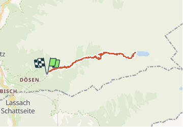

Length
15.6 km

Max alt
2273 m

Uphill gradient
927 m
Km-Effort
28 km

Min alt
1440 m

Downhill gradient
923 m
Boucle
Yes
Creation date :
2020-07-25 06:12:52.481
Updated on :
2020-07-25 11:27:51.859
4h59
Difficulty : Difficult

FREE GPS app for hiking
 SityTrail
IGN / Geographical institutes
SityTrail Plus
The world is yours!
About
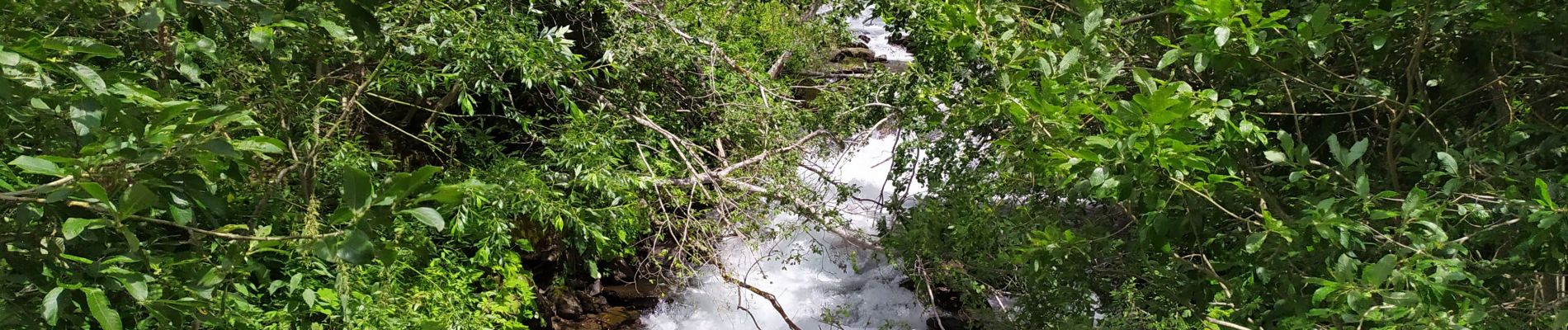
Trail Walking of 15.6 km to be discovered at Carinthia, Bezirk Spittal an der Drau, Mallnitz. This trail is proposed by Arnaud Dejean.
Photos


Positioning
Country:
Austria
Region :
Carinthia
Department/Province :
Bezirk Spittal an der Drau
Municipality :
Mallnitz
Location:
Unknown
Start:(Dec)
Start:(UTM)
363666 ; 5204402 (33T) N.
Comments