


Hodbomont 19 km

rvapeldo
User GUIDE
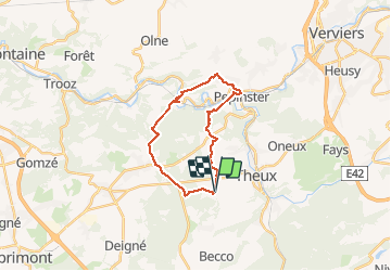

Length
18.9 km

Max alt
349 m

Uphill gradient
534 m
Km-Effort
26 km

Min alt
114 m

Downhill gradient
534 m
Boucle
Yes
Creation date :
2020-07-25 12:07:28.0
Updated on :
2020-07-26 06:12:06.671
4h13
Difficulty : Medium

FREE GPS app for hiking
 SityTrail
IGN / Geographical institutes
SityTrail Plus
The world is yours!
About
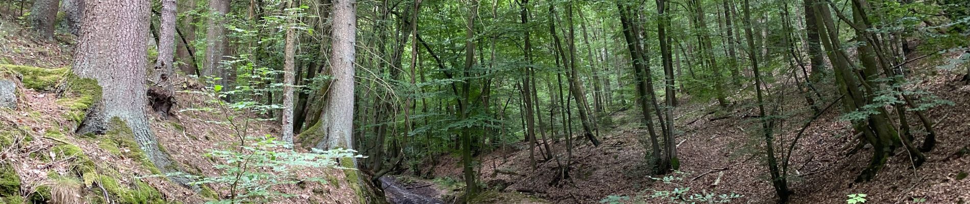
Trail Walking of 18.9 km to be discovered at Wallonia, Liège, Theux. This trail is proposed by rvapeldo.
Photos


Positioning
Country:
Belgium
Region :
Wallonia
Department/Province :
Liège
Municipality :
Theux
Location:
Theux
Start:(Dec)
Start:(UTM)
697514 ; 5601149 (31U) N.
Comments