


Tour du Puy Chaumont variante

Gegetop
User
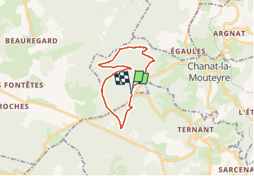

Length
11.7 km

Max alt
983 m

Uphill gradient
234 m
Km-Effort
14.8 km

Min alt
859 m

Downhill gradient
231 m
Boucle
Yes
Creation date :
2020-07-25 09:31:19.362
Updated on :
2020-07-25 19:10:19.36
2h35
Difficulty : Easy
2h20
Difficulty : Easy

FREE GPS app for hiking
 SityTrail
IGN / Geographical institutes
SityTrail Plus
The world is yours!
About
Trail Walking of 11.7 km to be discovered at Auvergne-Rhône-Alpes, Puy-de-Dôme, Chanat-la-Mouteyre. This trail is proposed by Gegetop.
Description
Variante avec départ différent
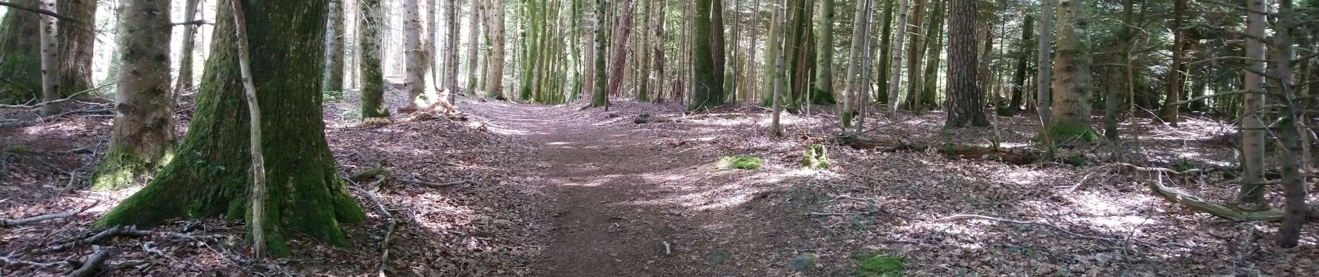
Toujours à l'ombre ! 😊
Photos

Positioning
Country:
France
Region :
Auvergne-Rhône-Alpes
Department/Province :
Puy-de-Dôme
Municipality :
Chanat-la-Mouteyre
Location:
Unknown
Start:(Dec)
Start:(UTM)
498253 ; 5074353 (31T) N.
Comments