


Foret de carnelle2

Djaie60
User

Length
10.4 km

Max alt
220 m

Uphill gradient
228 m
Km-Effort
13.5 km

Min alt
92 m

Downhill gradient
238 m
Boucle
Yes
Creation date :
2020-07-26 09:59:28.0
Updated on :
2021-01-20 15:42:22.636
--
Difficulty : Very easy

FREE GPS app for hiking
 SityTrail
IGN / Geographical institutes
SityTrail Plus
The world is yours!
About
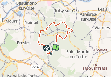
Trail On foot of 10.4 km to be discovered at Ile-de-France, Val-d'Oise, Saint-Martin-du-Tertre. This trail is proposed by Djaie60.
Positioning
Country:
France
Region :
Ile-de-France
Department/Province :
Val-d'Oise
Municipality :
Saint-Martin-du-Tertre
Location:
Unknown
Start:(Dec)
Start:(UTM)
449859 ; 5439475 (31U) N.
Comments