Fréjus plage-St Raph-retour littoral

janussity
User

Length
17.8 km

Max alt
82 m

Uphill gradient
200 m

Km-Effort
21 km

Min alt
0 m

Downhill gradient
200 m
Boucle
Yes
Creation date :
2020-07-27 05:05:29.654
Updated on :
2020-07-27 11:50:01.46
4h19
Difficulty : Difficult

FREE GPS app for hiking
About
Trail Walking of 17.8 km to be discovered at Provence-Alpes-Côte d'Azur, Var, Fréjus. This trail is proposed by janussity.
Description
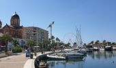
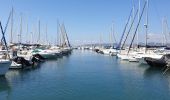
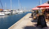
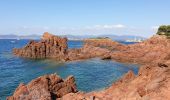
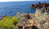
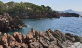
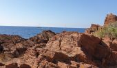
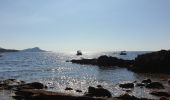
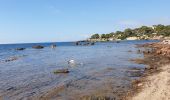
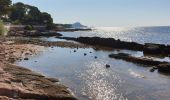
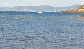
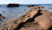
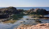
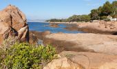
Beau temps .Depart rue Garnier et par littoral jusqu'à St Raph. Rando urbaine sur GR 51 ... plateau de Boulouris et descente vallon vers la mer. Littoral amenage vers Santa Lucia-Port St Raph et Fréjus Plage.
Difficile
Positioning
Country:
France
Region :
Provence-Alpes-Côte d'Azur
Department/Province :
Var
Municipality :
Fréjus
Location:
Unknown
Start:(Dec)
Start:(UTM)
318368 ; 4810454 (32T) N.
Comments


 SityTrail


