


Étang de Brin

any1950
User
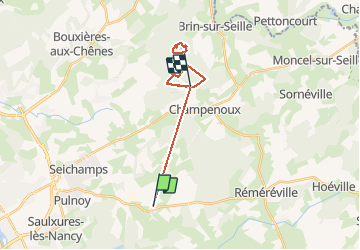

Length
16.1 km

Max alt
281 m

Uphill gradient
230 m
Km-Effort
19.1 km

Min alt
218 m

Downhill gradient
216 m
Boucle
No
Creation date :
2020-07-27 11:39:14.322
Updated on :
2020-07-27 15:44:01.203
3h16
Difficulty : Very easy

FREE GPS app for hiking
 SityTrail
IGN / Geographical institutes
SityTrail Plus
The world is yours!
About
Trail Walking of 16.1 km to be discovered at Grand Est, Meurthe-et-Moselle, Cerville. This trail is proposed by any1950.
Positioning
Country:
France
Region :
Grand Est
Department/Province :
Meurthe-et-Moselle
Municipality :
Cerville
Location:
Unknown
Start:(Dec)
Start:(UTM)
302327 ; 5397354 (32U) N.
Comments