


Tour des Puys Pradet, Baneyre, Espinasse

Gegetop
User
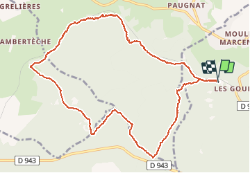

Length
12 km

Max alt
920 m

Uphill gradient
200 m
Km-Effort
14.7 km

Min alt
781 m

Downhill gradient
203 m
Boucle
Yes
Creation date :
2020-07-28 09:00:51.176
Updated on :
2020-07-28 12:28:15.767
2h24
Difficulty : Easy

FREE GPS app for hiking
 SityTrail
IGN / Geographical institutes
SityTrail Plus
The world is yours!
About
Trail Walking of 12 km to be discovered at Auvergne-Rhône-Alpes, Puy-de-Dôme, Volvic. This trail is proposed by Gegetop.
Description
Départ des Goulots.
Dans la forêt 🐿 du début à la fin.
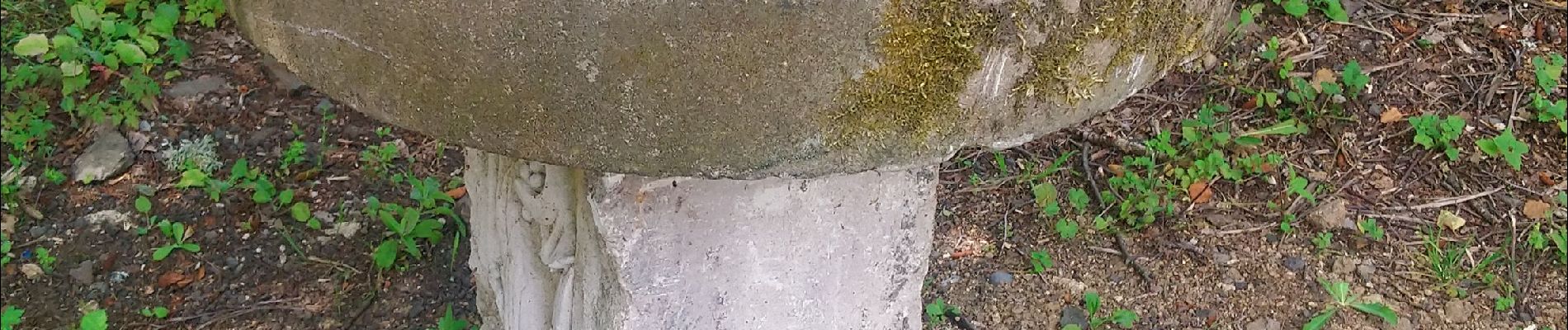
Photos

Positioning
Country:
France
Region :
Auvergne-Rhône-Alpes
Department/Province :
Puy-de-Dôme
Municipality :
Volvic
Location:
Unknown
Start:(Dec)
Start:(UTM)
499195 ; 5079882 (31T) N.
Comments