


boucle vens

PEBREJOSIANE
User


Length
15.9 km

Max alt
2598 m

Uphill gradient
1002 m
Km-Effort
30 km

Min alt
1542 m

Downhill gradient
1123 m
Boucle
No
Creation date :
2020-07-29 06:20:54.629
Updated on :
2020-07-29 14:52:08.244
7h41
Difficulty : Difficult

FREE GPS app for hiking
 SityTrail
IGN / Geographical institutes
SityTrail Plus
The world is yours!
About
Trail Walking of 15.9 km to be discovered at Provence-Alpes-Côte d'Azur, Maritime Alps, Saint-Étienne-de-Tinée. This trail is proposed by PEBREJOSIANE.
Description
rando boucle aux lacs de Vens
Aller par le PRA et le col de Fer
Retour par Vens
Stop pour récupérer la voiture
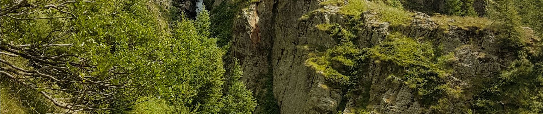
Photos


Positioning
Country:
France
Region :
Provence-Alpes-Côte d'Azur
Department/Province :
Maritime Alps
Municipality :
Saint-Étienne-de-Tinée
Location:
Unknown
Start:(Dec)
Start:(UTM)
331463 ; 4909906 (32T) N.
Comments