


Lac d'Espingo

kipoura
User
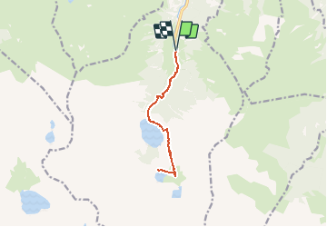

Length
11.6 km

Max alt
1973 m

Uphill gradient
919 m
Km-Effort
24 km

Min alt
1146 m

Downhill gradient
919 m
Boucle
Yes
Creation date :
2020-07-29 16:59:57.752
Updated on :
2020-07-29 17:01:00.646
4h44
Difficulty : Very difficult
1h50
Difficulty : Difficult

FREE GPS app for hiking
 SityTrail
IGN / Geographical institutes
SityTrail Plus
The world is yours!
About
Trail Walking of 11.6 km to be discovered at Occitania, Haute-Garonne, Oô. This trail is proposed by kipoura.


Positioning
Country:
France
Region :
Occitania
Department/Province :
Haute-Garonne
Municipality :
Oô
Location:
Unknown
Start:(Dec)
Start:(UTM)
295603 ; 4737607 (31T) N.
Comments