


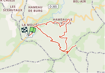

14.8 km | 22 km-effort

User


FREE GPS app for hiking
 SityTrail
IGN / Geographical institutes
SityTrail World
The world is yours!
Trail Walking of 10.3 km to be discovered at Auvergne-Rhône-Alpes, Ardèche, Saint-Vincent-de-Durfort. This trail is proposed by jome63.
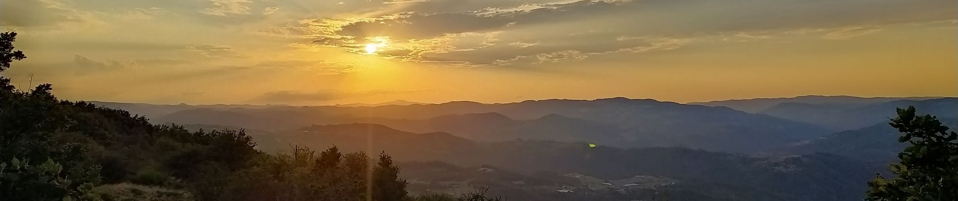
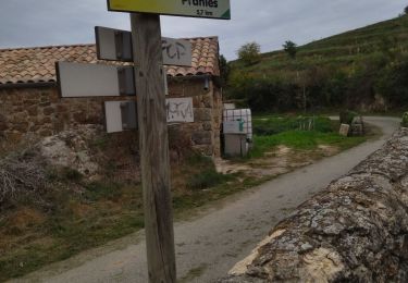
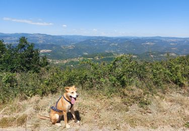
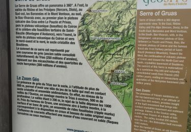
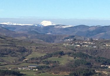
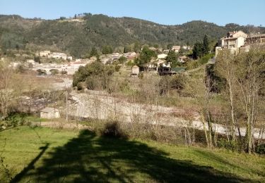
Une randonnée nocturne proposée par l'équipe du camping Coeur d'Ardèche : Le départ se situe au camping, après avoir vérifié que chacun a bien une lampe pour le retour de nuit. La montée demande un effort physique, mais elle peut se faire avec un rythme plus lent. Arrivée aux Croix de Gruas, nous avons été jusqu'à une source d'eau bien fraîche. Le point de vue depuis les Croix de Gruas permet de voir plusieurs départements, et un sublime coucher de soleil sur l'Ardèche ! Le retour se faisant de nuit, nous avons emprunté la route départementale, où nous n'avons croisé aucune voiture.
www.campingcoeurardeche.com


Walking
Walking
Walking
Walking
Walking
Walking
Walking
Walking