


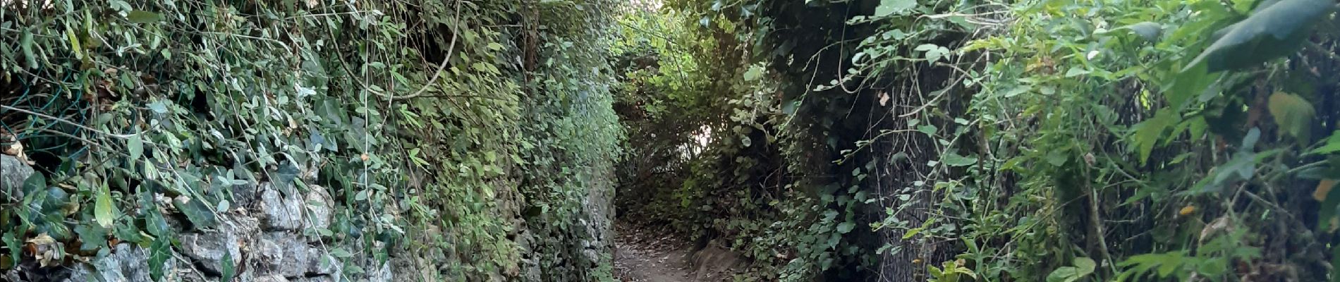
laroque . canal d irrigation . puit de neige . A/R

stef789
User GUIDE
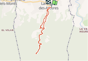

Length
9 km

Max alt
457 m

Uphill gradient
375 m
Km-Effort
14 km

Min alt
107 m

Downhill gradient
376 m
Boucle
Yes
Creation date :
2020-07-30 12:42:00.126
Updated on :
2020-07-30 16:39:04.757
3h56
Difficulty : Very easy

FREE GPS app for hiking
 SityTrail
IGN / Geographical institutes
SityTrail Plus
The world is yours!
About
Trail Walking of 9 km to be discovered at Occitania, Pyrénées-Orientales, Laroque-des-Albères. This trail is proposed by stef789.
Photos


Positioning
Country:
France
Region :
Occitania
Department/Province :
Pyrénées-Orientales
Municipality :
Laroque-des-Albères
Location:
Unknown
Start:(Dec)
Start:(UTM)
494816 ; 4707699 (31T) N.
Comments