


54 km | 63 km-effort
La marche c'est la santée


FREE GPS app for hiking
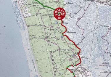
 SityTrail
IGN / Geographical institutes
SityTrail World
The world is yours!
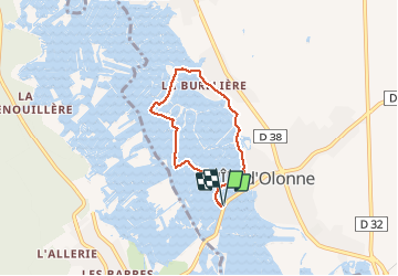
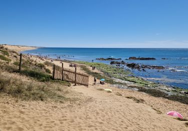
Trail Walking of 5 km to be discovered at Pays de la Loire, Vendée, L'Île-d'Olonne. This trail is proposed by Rando Vendée.
Prenez le temps de jeter un coup d'oeil à l'église Saint Martin de Vertou et son clocher panoramique.
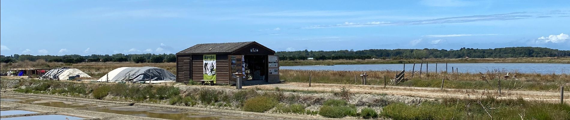
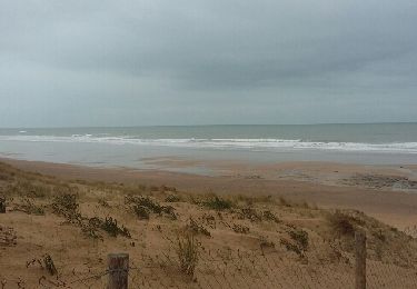
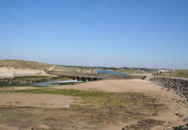
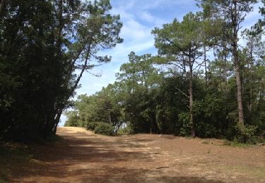
Balade dans les marais.


Mountain bike
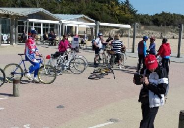
Cycle
Other activity
Other activity
Walking
Walking
Walking
Walking
Horseback riding