


col ullat. roc del grevol. col sant joan . col de la font . puig sant christau . puig d orella . col d ullat

stef789
User GUIDE
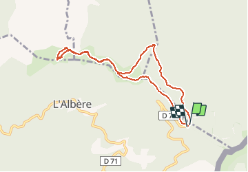

Length
9.1 km

Max alt
1020 m

Uphill gradient
312 m
Km-Effort
13.3 km

Min alt
872 m

Downhill gradient
323 m
Boucle
Yes
Creation date :
2020-08-01 13:25:01.472
Updated on :
2020-08-01 16:41:04.917
3h15
Difficulty : Very easy

FREE GPS app for hiking
 SityTrail
IGN / Geographical institutes
SityTrail Plus
The world is yours!
About
Trail Walking of 9.1 km to be discovered at Occitania, Pyrénées-Orientales, L'Albère. This trail is proposed by stef789.
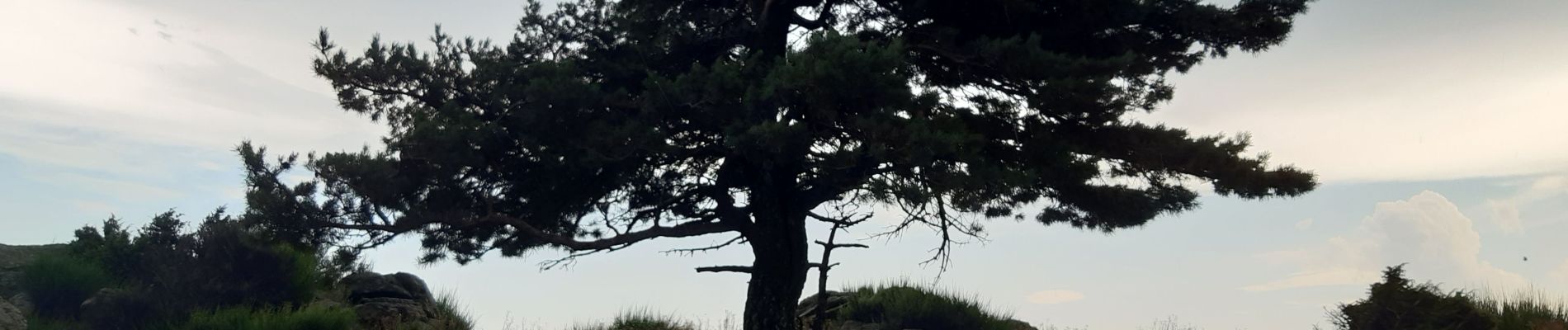
Photos


Positioning
Country:
France
Region :
Occitania
Department/Province :
Pyrénées-Orientales
Municipality :
L'Albère
Location:
Unknown
Start:(Dec)
Start:(UTM)
493659 ; 4703019 (31T) N.
Comments