


Estanys de Juclar i pic d'Escobes (2.779m)

c.chehere
User
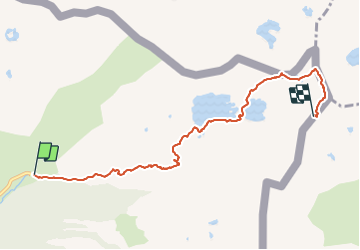

Length
6.9 km

Max alt
2742 m

Uphill gradient
934 m
Km-Effort
16.4 km

Min alt
1836 m

Downhill gradient
41 m
Boucle
No
Creation date :
2020-08-02 14:35:16.286
Updated on :
2020-08-02 14:35:16.286

FREE GPS app for hiking
 SityTrail
IGN / Geographical institutes
SityTrail Plus
The world is yours!
About
Trail of 6.9 km to be discovered at Andorra. This trail is proposed by c.chehere.
Positioning
Country:
Andorra
Region :
Unknown
Department/Province :
Unknown
Municipality :
Unknown
Location:
Unknown
Start:(Dec)
Start:(UTM)
392344 ; 4717443 (31T) N.
Comments