


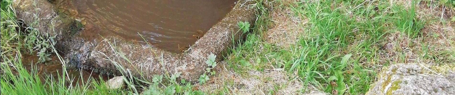
les Fontaines de Cezeyrat

arnoultjf
User

Length
10.5 km

Max alt
888 m

Uphill gradient
254 m
Km-Effort
13.9 km

Min alt
756 m

Downhill gradient
255 m
Boucle
No
Creation date :
2020-08-03 06:42:15.512
Updated on :
2020-08-03 10:02:37.739
3h19
Difficulty : Very easy

FREE GPS app for hiking
 SityTrail
IGN / Geographical institutes
SityTrail Plus
The world is yours!
About
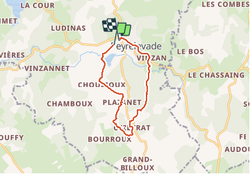
Trail Walking of 10.5 km to be discovered at New Aquitaine, Corrèze, Peyrelevade. This trail is proposed by arnoultjf.
Photos


Positioning
Country:
France
Region :
New Aquitaine
Department/Province :
Corrèze
Municipality :
Peyrelevade
Location:
Unknown
Start:(Dec)
Start:(UTM)
425601 ; 5061605 (31T) N.
Comments