


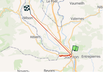
Sisteron

babouille
User

Length
18.4 km

Max alt
637 m

Uphill gradient
444 m
Km-Effort
24 km

Min alt
460 m

Downhill gradient
307 m
Boucle
No
Creation date :
2020-08-03 05:45:36.0
Updated on :
2020-08-03 12:15:00.693
3h34
Difficulty : Unknown

FREE GPS app for hiking
 SityTrail
IGN / Geographical institutes
SityTrail Plus
The world is yours!
About
Trail Walking of 18.4 km to be discovered at Provence-Alpes-Côte d'Azur, Alpes-de-Haute-Provence, Sisteron. This trail is proposed by babouille.
Description
Rando au dessus de Sisteron
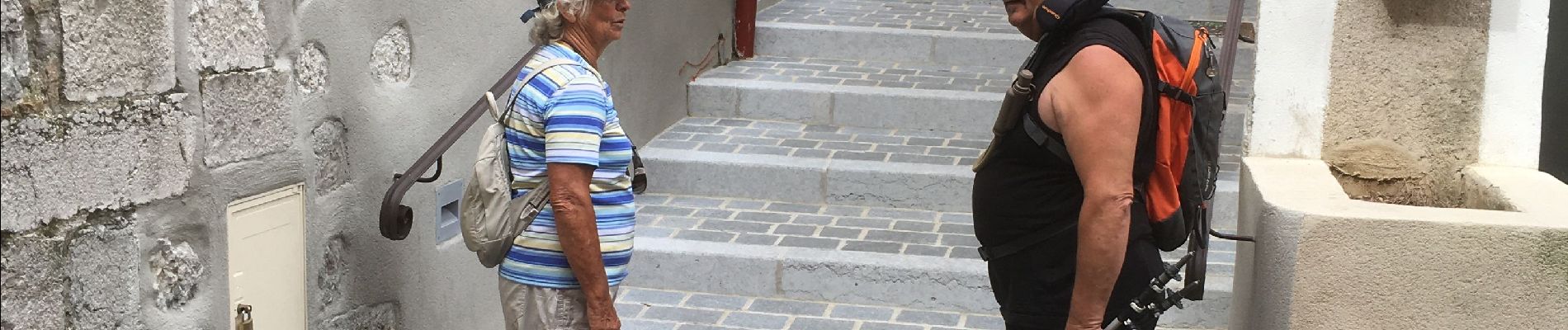
Photos


Positioning
Country:
France
Region :
Provence-Alpes-Côte d'Azur
Department/Province :
Alpes-de-Haute-Provence
Municipality :
Sisteron
Location:
Unknown
Start:(Dec)
Start:(UTM)
735224 ; 4898295 (31T) N.
Comments