


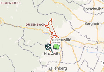

19.3 km | 24 km-effort


User


FREE GPS app for hiking
 SityTrail
IGN / Geographical institutes
SityTrail World
The world is yours!
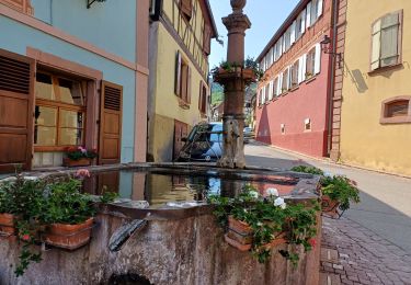
Trail Walking of 11 km to be discovered at Grand Est, Haut-Rhin, Hunawihr. This trail is proposed by s0c7.
Jolie ballade (un peu fréquentée) faisable par tout temps. On a pris notre temps, c'est très faisable en ballade familiale.

Mountain bike

Walking

Walking

Walking

Walking
Walking
Walking
Walking