


de Arrigas au Mont saint Guiral

labarone
User
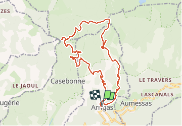

Length
22 km

Max alt
1340 m

Uphill gradient
932 m
Km-Effort
35 km

Min alt
504 m

Downhill gradient
934 m
Boucle
Yes
Creation date :
2020-08-04 06:51:57.808
Updated on :
2020-08-04 15:01:41.87
5h35
Difficulty : Medium

FREE GPS app for hiking
 SityTrail
IGN / Geographical institutes
SityTrail Plus
The world is yours!
About
Trail Walking of 22 km to be discovered at Occitania, Gard, Arrigas. This trail is proposed by labarone.
Description
belle rando...montée reguliere pas trop penible
zones ombragées...parfois vent froid la haut
possibilité brouillard...
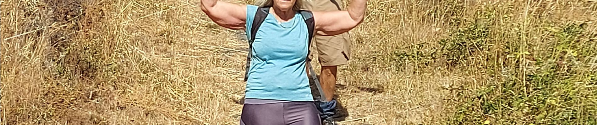
Photos


Positioning
Country:
France
Region :
Occitania
Department/Province :
Gard
Municipality :
Arrigas
Location:
Unknown
Start:(Dec)
Start:(UTM)
538536 ; 4870835 (31T) N.
Comments