


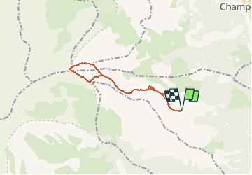

16.3 km | 28 km-effort

User


FREE GPS app for hiking
 SityTrail
IGN / Geographical institutes
SityTrail World
The world is yours!
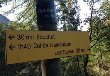
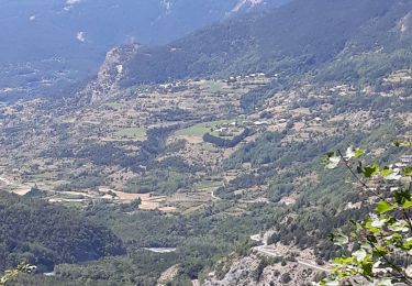
Trail Walking of 12 km to be discovered at Provence-Alpes-Côte d'Azur, Hautes-Alpes, Réotier. This trail is proposed by Forain.
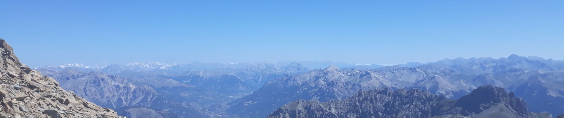
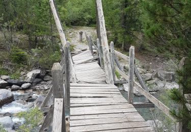
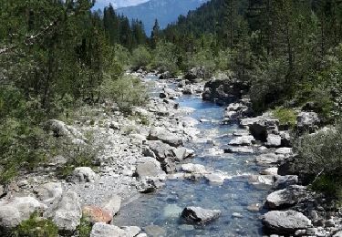
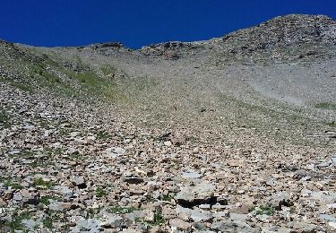
Magnifique randonnée, point culminant 3200, avec vue sur le Mont Blanc, le parc des Ecrins et un panorama à 360°. En descente n'hésitez pas à faire le chemin de crêtes en suivant les cairns.


Walking
Touring skiing
Walking
Walking
Walking
Walking
Walking
Mountain bike

Walking