


Saint genier petit

yves62410
User
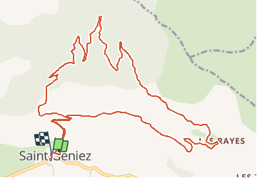

Length
8.1 km

Max alt
1370 m

Uphill gradient
351 m
Km-Effort
12.7 km

Min alt
1117 m

Downhill gradient
342 m
Boucle
Yes
Creation date :
2020-08-05 16:00:00.0
Updated on :
2020-08-05 17:00:59.908
59m
Difficulty : Unknown

FREE GPS app for hiking
 SityTrail
IGN / Geographical institutes
SityTrail Plus
The world is yours!
About
Trail Mountain bike of 8.1 km to be discovered at Provence-Alpes-Côte d'Azur, Alpes-de-Haute-Provence, Saint-Geniez. This trail is proposed by yves62410.
Description
Pour vae
Positioning
Country:
France
Region :
Provence-Alpes-Côte d'Azur
Department/Province :
Alpes-de-Haute-Provence
Municipality :
Saint-Geniez
Location:
Unknown
Start:(Dec)
Start:(UTM)
264660 ; 4903299 (32T) N.
Comments