


Tour des Puys Jumes et Coquille

Gegetop
User
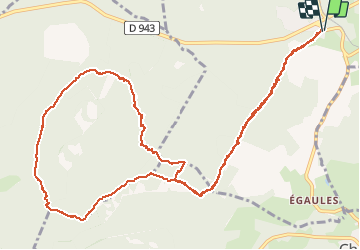

Length
14.5 km

Max alt
1037 m

Uphill gradient
332 m
Km-Effort
18.9 km

Min alt
771 m

Downhill gradient
332 m
Boucle
Yes
Creation date :
2020-08-06 09:06:19.003
Updated on :
2020-08-06 13:08:09.969
3h30
Difficulty : Medium
3h17
Difficulty : Medium

FREE GPS app for hiking
 SityTrail
IGN / Geographical institutes
SityTrail Plus
The world is yours!
About
Trail Walking of 14.5 km to be discovered at Auvergne-Rhône-Alpes, Puy-de-Dôme, Volvic. This trail is proposed by Gegetop.
Description
Départ du Cratère.
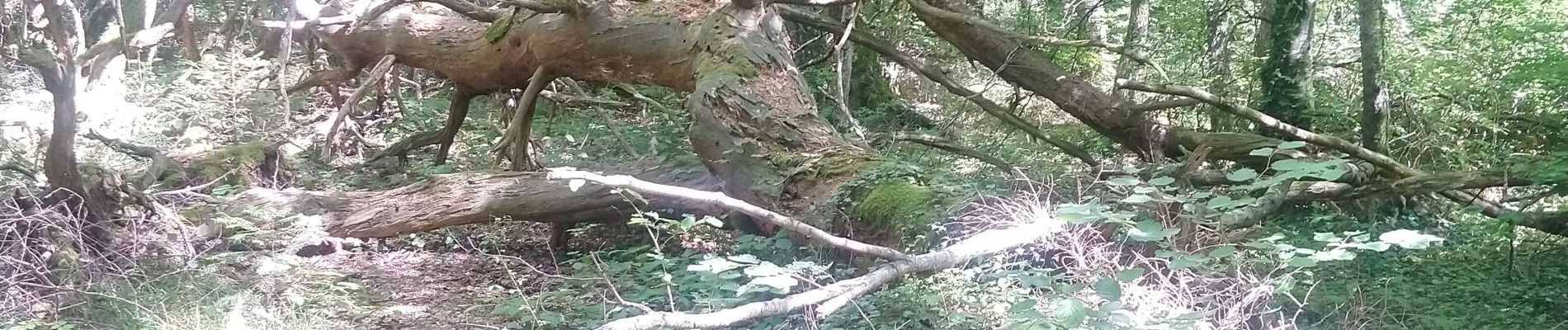
Photos


Positioning
Country:
France
Region :
Auvergne-Rhône-Alpes
Department/Province :
Puy-de-Dôme
Municipality :
Volvic
Location:
Unknown
Start:(Dec)
Start:(UTM)
500516 ; 5078234 (31T) N.
Comments