


20200806-Mortemer

doudet
User
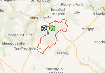

Length
22 km

Max alt
194 m

Uphill gradient
344 m
Km-Effort
27 km

Min alt
70 m

Downhill gradient
347 m
Boucle
Yes
Creation date :
2020-08-06 07:23:51.244
Updated on :
2020-08-06 16:48:38.98
5h40
Difficulty : Medium

FREE GPS app for hiking
 SityTrail
IGN / Geographical institutes
SityTrail Plus
The world is yours!
About
Trail Walking of 22 km to be discovered at Normandy, Eure, Lisors. This trail is proposed by doudet.
Description
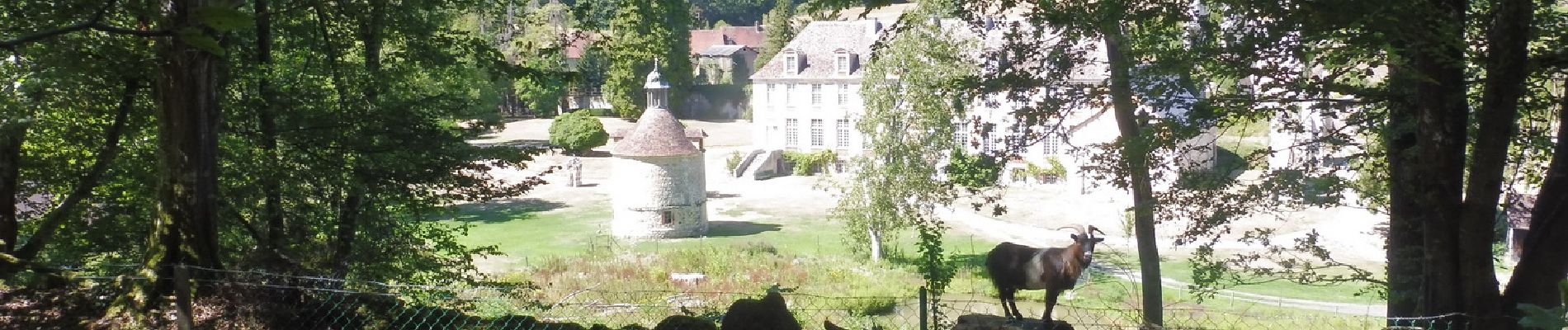
Boucle A-R au départ de la source Ste Catherine Près de l'Abbaye de Mortemer
Photos


26 photos in total. Please click on a photo to see them all in the gallery.
Positioning
Country:
France
Region :
Normandy
Department/Province :
Eure
Municipality :
Lisors
Location:
Unknown
Start:(Dec)
Start:(UTM)
390942 ; 5469950 (31U) N.
Comments